A field atlas of the world's islands
Every island,
from the sea up.
Its shape from space, the sea around it month by month, the best time to go and what is on it — for 13,080 islands, from Madeira to Bora Bora.
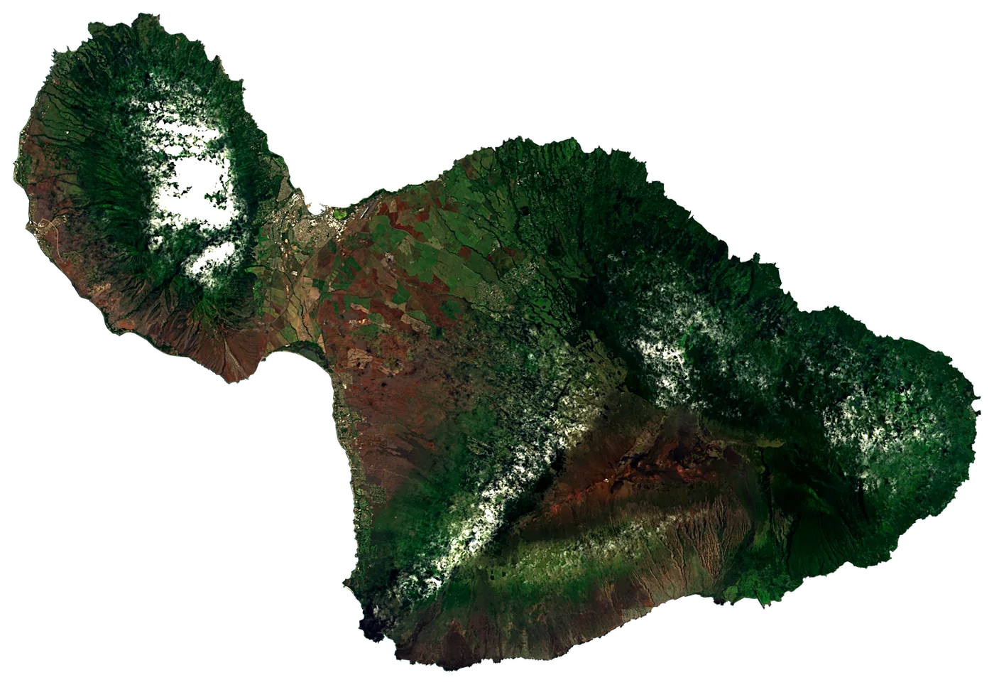
13,080islands on the map
1,299island guides
161countries
12seas
Pick a month
Islands at their best in July
Warm afternoons, warm sea and few wet days, from 30 years of averages. The coloured chip is the sea temperature that month.
 Sri Lanka
 Sri Lanka67,655 km²27°
 New Guinea
 Papua New Guinea785,753 km²29°
 Sumatra
 Indonesia473,481 km²29°
 Singapore Island
 Singapore658 km²28°
 Borneo
 Malaysia748,168 km²28°
 SulawesiIndonesia174,600 km²29°
 Cuba
Cuba Cuba105,806 km²26°
 Jamaica
 Jamaica11,190 km²27°Sri LankaSri Lanka67,655 km²28°SumatraIndonesia473,481 km²29°New GuineaPapua New Guinea785,753 km²29°Singapore IslandSingapore658 km²28°BorneoMalaysia748,168 km²28°SulawesiIndonesia174,600 km²29°CubaCuba105,806 km²26°JamaicaJamaica11,190 km²27°SumatraIndonesia473,481 km²30°Singapore IslandSingapore658 km²29°New GuineaPapua New Guinea785,753 km²29°BorneoMalaysia748,168 km²29°SulawesiIndonesia174,600 km²29°JamaicaJamaica11,190 km²27°
 Nauru
Nauru Nauru22 km²29°
 Mindanao
 Philippines97,530 km²28°SumatraIndonesia473,481 km²30°BorneoMalaysia748,168 km²30°New GuineaPapua New Guinea785,753 km²29°SulawesiIndonesia174,600 km²30°JamaicaJamaica11,190 km²28°
 LuzonPhilippines109,965 km²28°MindanaoPhilippines97,530 km²29°
 Puerto Rico
 Puerto Rico9,100 km²27°SumatraIndonesia473,481 km²30°
 Taiwan Island
 Taiwan35,883 km²27°New GuineaPapua New Guinea785,753 km²29°SulawesiIndonesia174,600 km²30°LuzonPhilippines109,965 km²30°MindanaoPhilippines97,530 km²29°Puerto RicoPuerto Rico9,100 km²28°
 Guam
Guam United States545 km²29°Singapore IslandSingapore658 km²30°Taiwan IslandTaiwan35,883 km²28°
 Hispaniola
 Dominican Republic76,420 km²28°
 Mauritius Island
 Mauritius1,866 km²25°
 TimorIndonesia30,777 km²28°
 Aruba
Aruba Aruba180 km²27°
 Bali IslandIndonesia5,633 km²28°
 Curaçao
 Curacao430 km²28°Taiwan IslandTaiwan35,883 km²29°Sri LankaSri Lanka67,655 km²28°Singapore IslandSingapore658 km²30°
 JavaIndonesia128,297 km²28°HispaniolaDominican Republic76,420 km²29°
 Malta
Malta Malta247 km²25°
 Kyushu
 Japan36,782 km²26°
 Island of Mozambique
 Mozambique0.93 km²26°Taiwan IslandTaiwan35,883 km²29°Sri LankaSri Lanka67,655 km²28°BorneoMalaysia748,168 km²29°JavaIndonesia128,297 km²27°MaltaMalta247 km²26°KyushuJapan36,782 km²28°
 HonshuJapan230,426 km²26°
 ShikokuJapan18,297 km²27°Taiwan IslandTaiwan35,883 km²28°
 Madagascar
 Madagascar587,713 km²25°JavaIndonesia128,297 km²27°KyushuJapan36,782 km²26°
 Sicily
 Italy25,662 km²25°HonshuJapan230,426 km²25°ShikokuJapan18,297 km²26°Island of MozambiqueMozambique0.93 km²26°NauruNauru22 km²29°
 Cyprus
 Cyprus9,234 km²25°
 Hong Kong Island
 Hong Kong79 km²27°Island of MozambiqueMozambique0.93 km²27°Bali IslandIndonesia5,633 km²28°Mauritius IslandMauritius1,866 km²24°
 São Luís Island
 Brazil883 km²27°
 Réunion
 France2,512 km²24°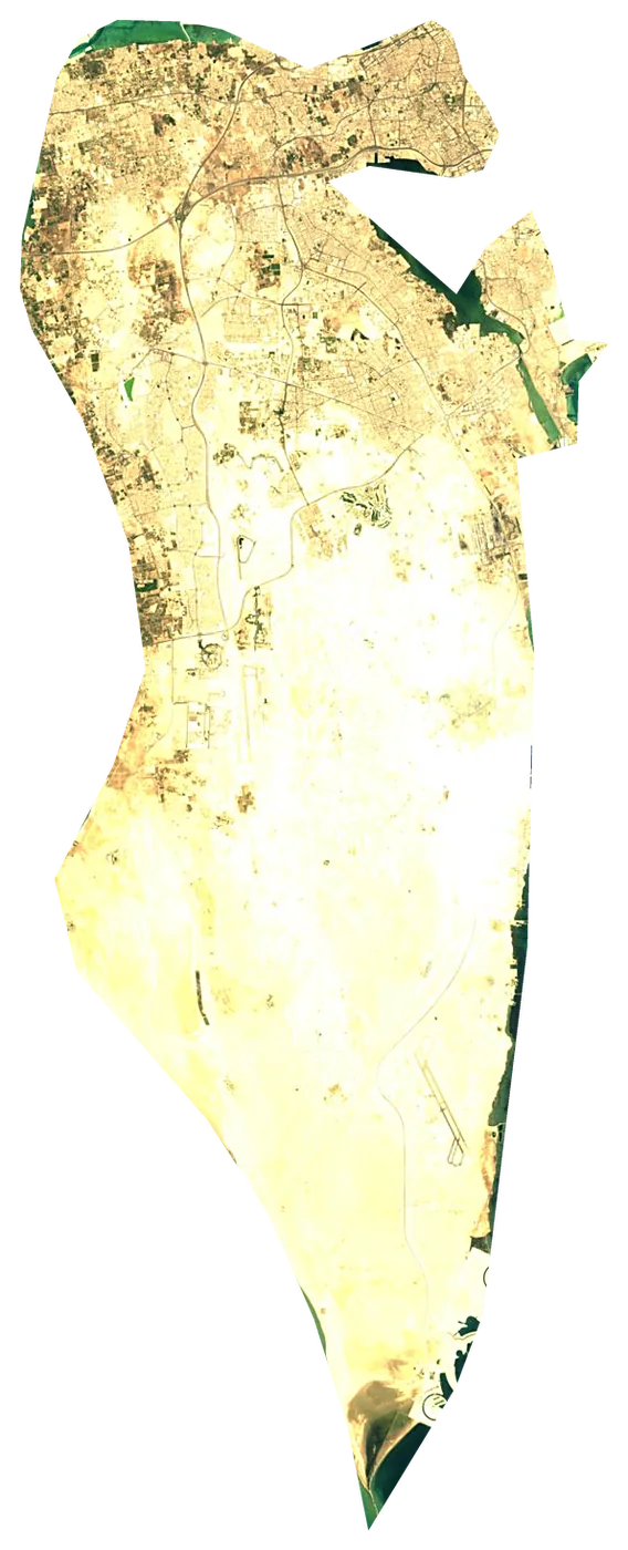
 Bahrain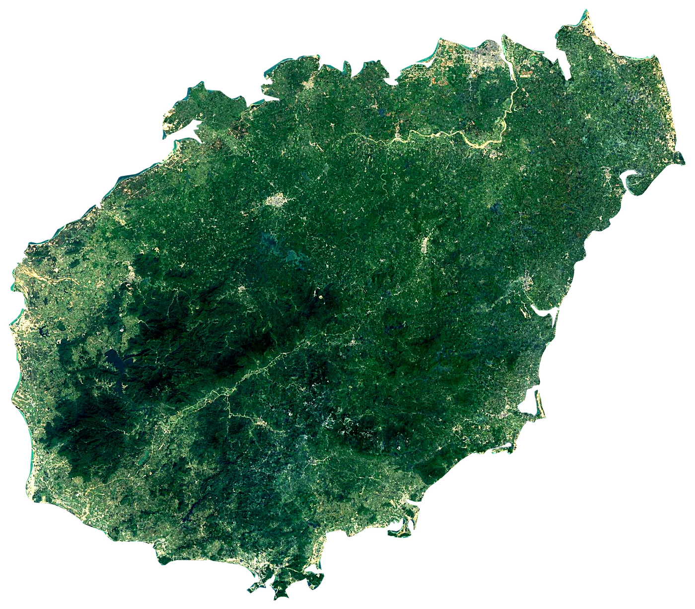
 China
China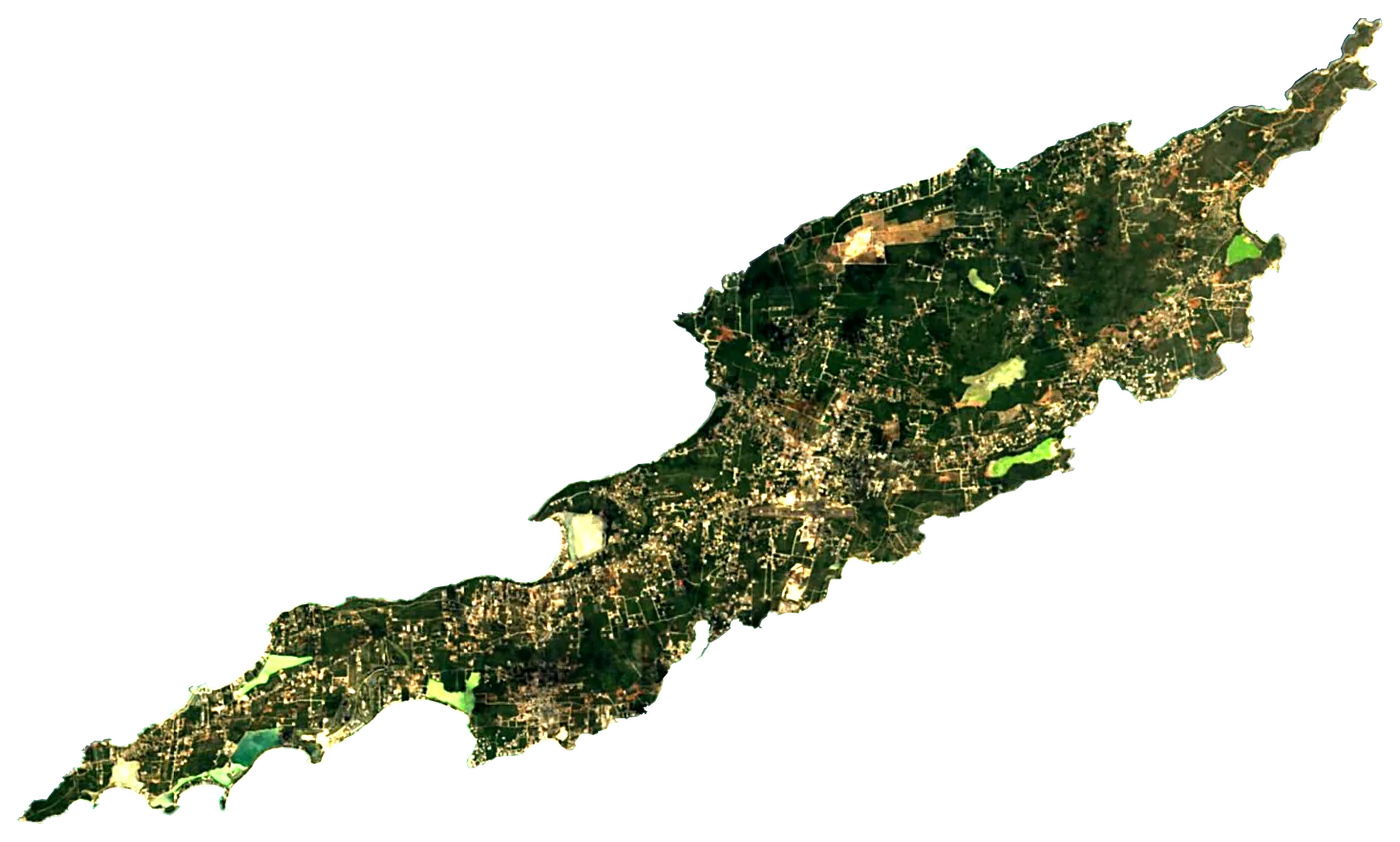
 Anguilla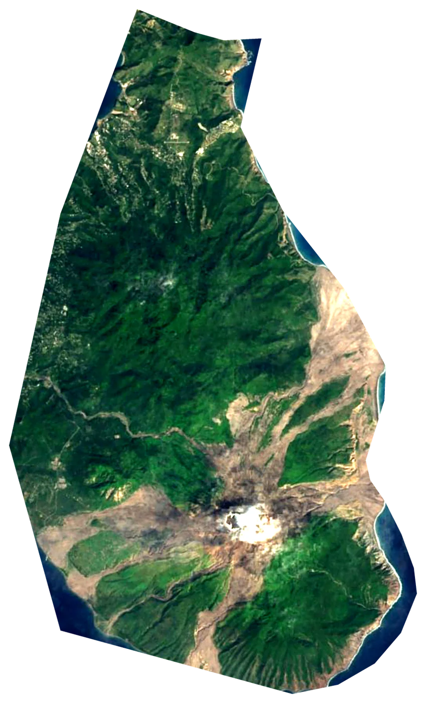
 United Kingdom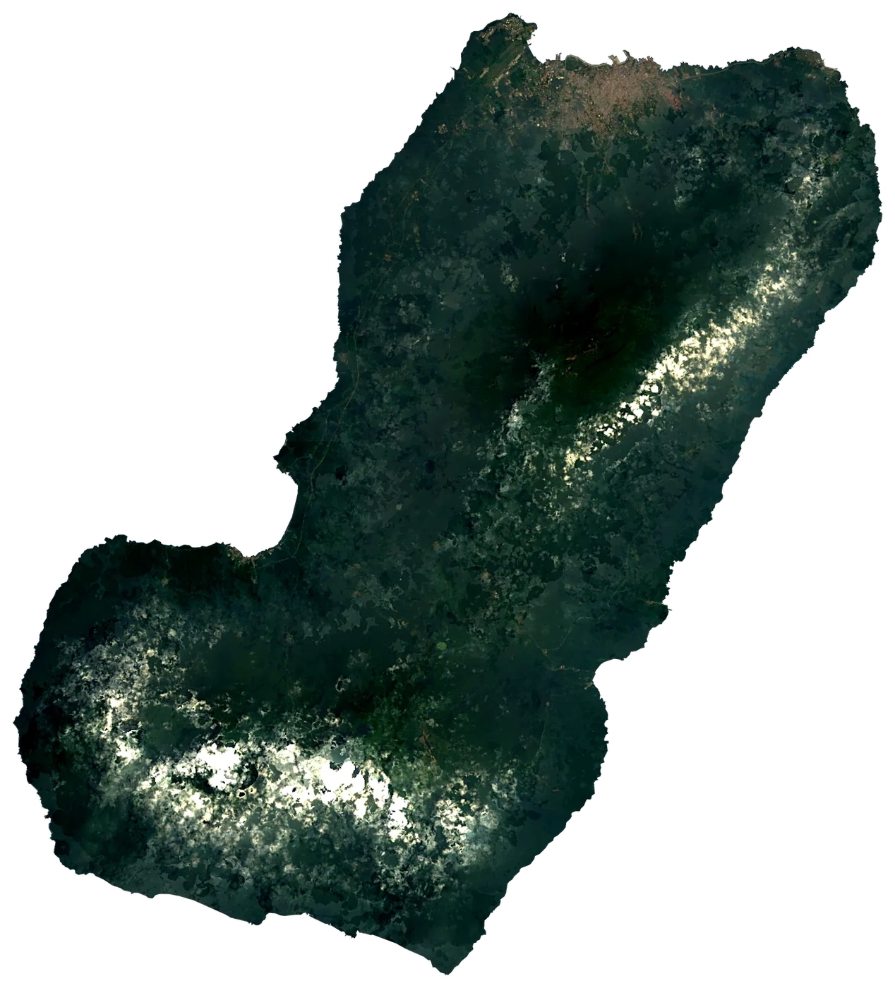
 Equatorial Guinea
At the same scale
From Greenland down, side by side.
The largest islands in the atlas, all drawn to the same scale. Scroll sideways.
Far from everything
The most remote islands.
 MooreaFrance133 km²1,207 m6,104 km from the mainland
 TahitiFrance1,047 km²2,241 m6,101 km from the mainlandTetiaroaFrance6.0 km²17 m6,098 km from the mainland
 MehetiaFrance2.0 km²435 m6,048 km from the mainland
 HuahineFrance45 km²699 m6,027 km from the mainland
 TahaaFrance90 km²554 m5,980 km from the mainland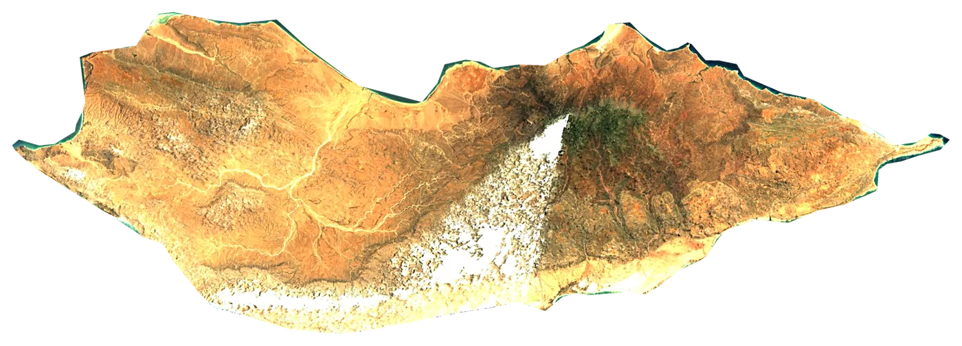
 Yemen
Yemen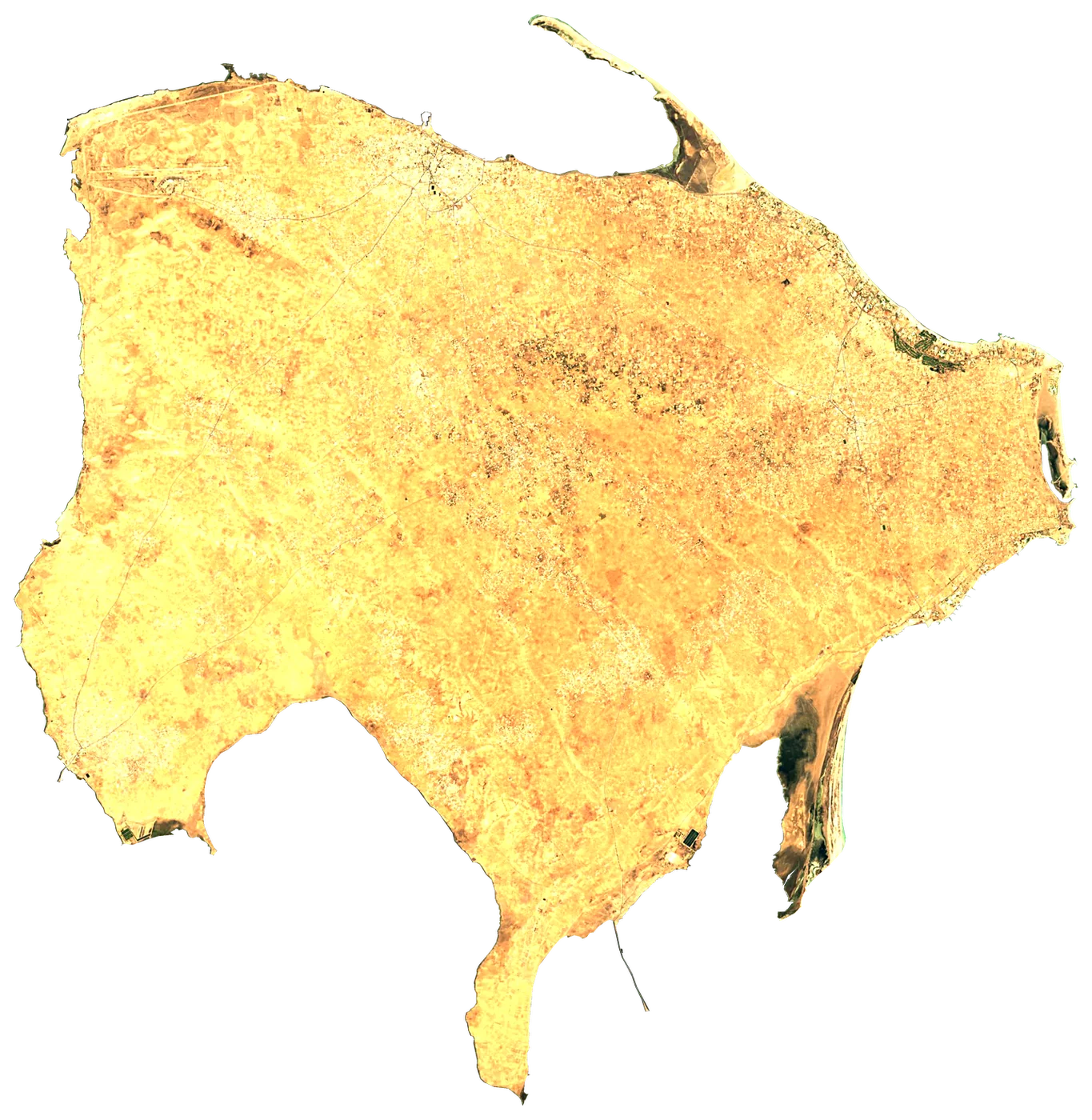
 Tunisia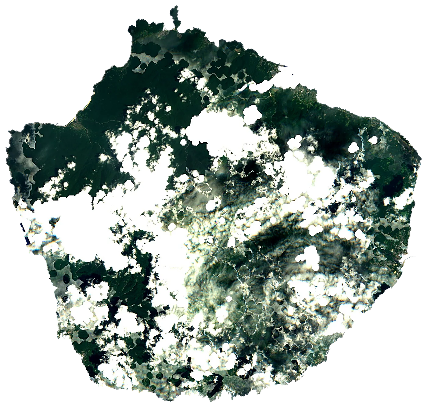
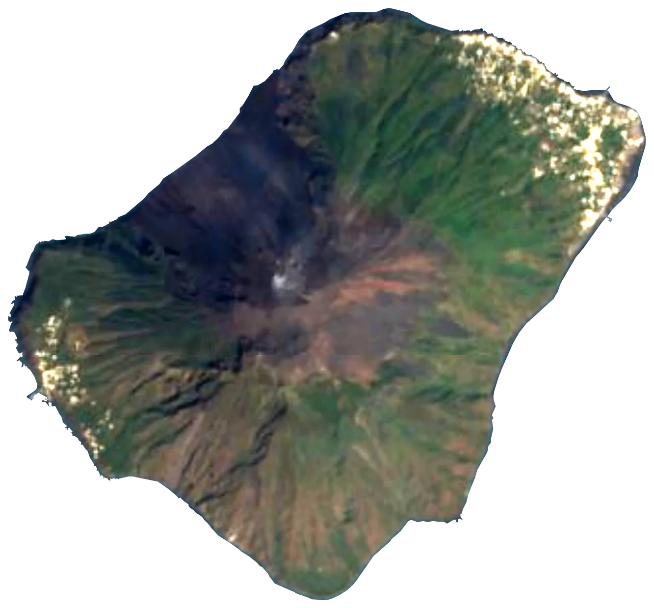
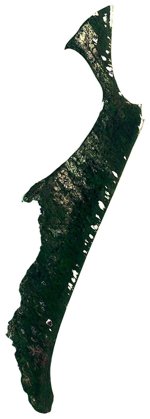
 Australia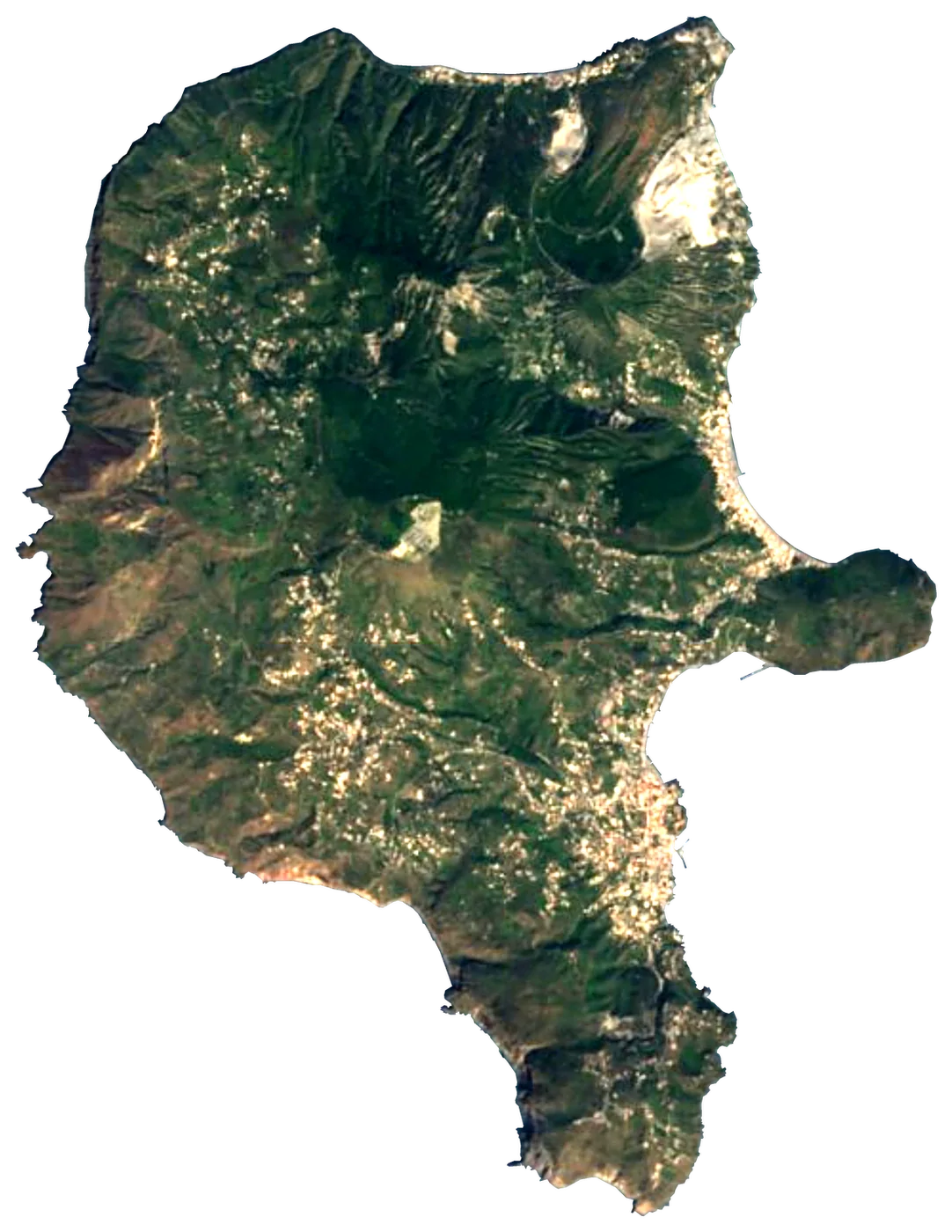


How we know
Built on open data.
Every number on Islandyas comes from a public, citable dataset — the same ones scientists and mapmakers use. Nothing is invented and nothing is paid for.
- Wikidataislands, names, areas and populations in every language
- Natural Earththe outline of every larger island, and the seas
- NOAA OISSTthe temperature of the sea around every island since 1991
- NASA POWERair, rain, sun and wind since 1991
- Copernicus DEMthe world's relief every 30 m
- OpenStreetMapbeaches, ports, lighthouses, trails and exact coastlines
The family
Do you prefer beaches, lakes, mountains, waterfalls, islands, rivers, canyons, caves, dark skies, viewpoints, birdwatching, forests or history?
Same idea, other landscapes: field atlases built on open data, month by month, in seven languages.
 beaches
 Find your beach: sea temperature, sun and swimming month by month.Coming soonVisit
  lakes
lakes Every lake on Earth: water temperature, ice, depth and the shore.Visit
  mountains
 Every summit in 3D: summit weather, the 0 °C line, huts and trails.Visit
  waterfalls
 Every waterfall: height, flow month by month and when it roars.Visit
  islands
 Every island from the sea up: size, sea temperature, ferries and 3D.You are here
 rivers
 Every river from source to sea: the journey, the flow and the basin in numbers.Visit
  canyons
 Every canyon cut to scale: depth to the floor, rim and floor temperatures, trails and viewpoints.Visit
  caves
caves Every cave with its real depth and length: the rock above, the temperature inside all year, and how to visit.Visit
  dark skies
 Where the night is still dark: the sky of every place, the Milky Way month by month, the Moon, eclipses and auroras.Visit
  viewpoints
 Every viewpoint with its real 360° panorama: the peaks you can name, how far you see and where the sun sets.Visit
  birdwatching
 Every bird sanctuary and wetland with the species recorded month by month: who is resident, who comes for the summer, who only passes through.Visit
  forests
 Every forest with its land-cover rings, what grows and lives in it, and the best months to walk it.Visit
  history
 The history of the Earth on one timeline.Visit